Image 18. Hvolsvöllur from above. (Source: Hvolsvöllur municipality)
Case 3: Hvollsvöllur, Iceland: Sprung out of service and tourism
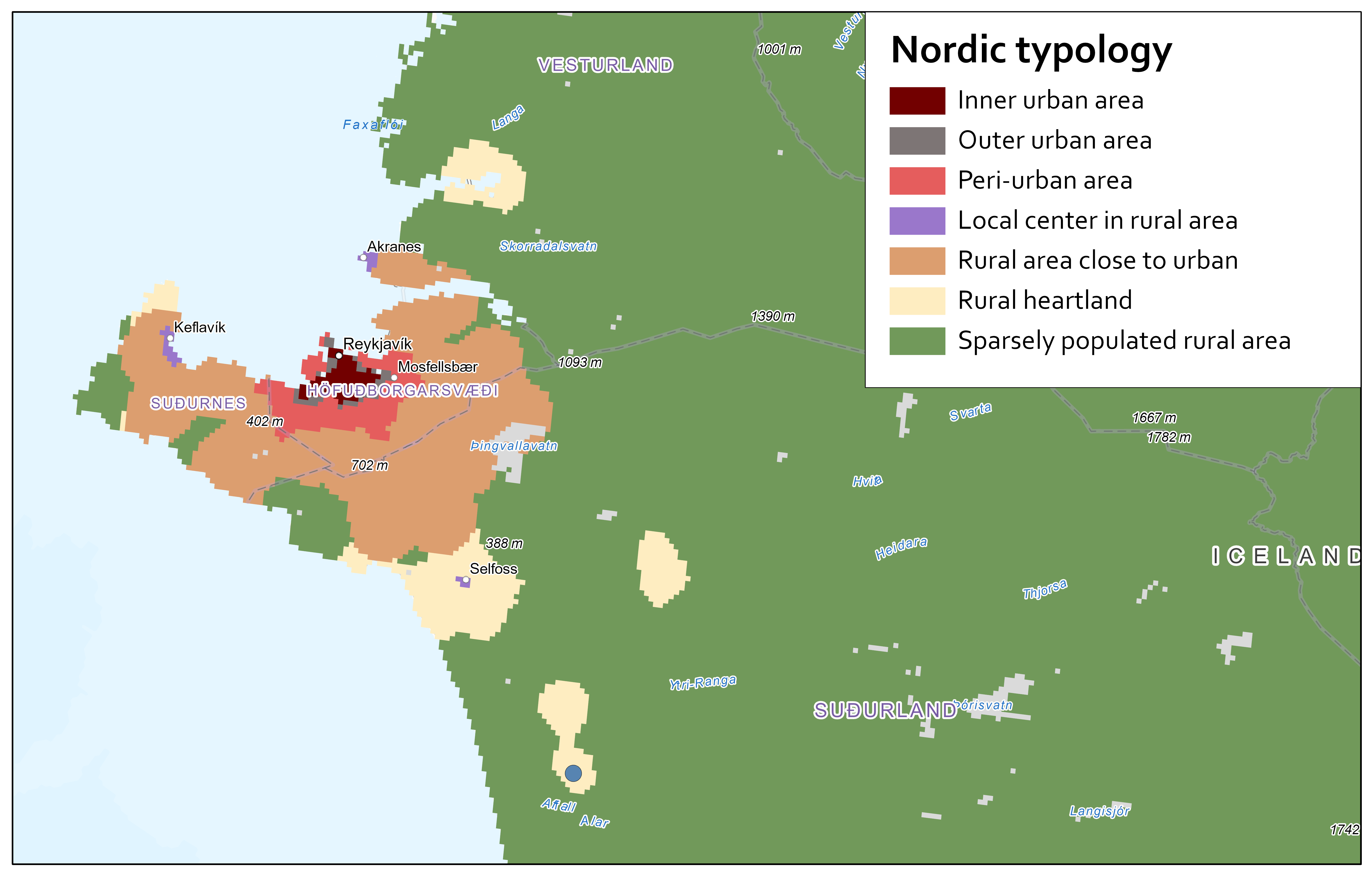
Hvolsvöllur is the biggest settlement of the municipality Rangárþing eystra, located in South Iceland between two rivers—Ytri-Rangá to the west and the glacial river Jökulsá á Sólheimasandi to the south (Map 4). The main highway in Iceland, Þjóðvegur 1, runs through the centre of Hvolsvöllur, approximately 100 km from Reykjavík. The eastern borders of the municipality run through the glacier Mýrdalsjökull. The area is rich in natural wonders and magnificent landscapes. The municipality is home to the infamous glacier Eyjafjallajökull, whose eruption massively disrupted global air traffic in 2010.
Today, the population of Hvolsvöllur is 1,108. The municipality as a whole is experiencing continuous population growth, demonstrating a 20% increase in the past two decades, and data suggests that the population increase is driven by people moving to the municipality from outside of Iceland. The municipality was formed in 2002 by a union of 6 smaller municipalities. The municipal administration offices and all the main service points of the municipality are located in Hvolsvöllur.
Hvolsvöllur is one of the very few towns in Iceland that did not evolve from fishing activities; rather, the town developed to serve the agricultural community, and service is still the key industrial driver. The main employer in town is Sláturfélag Suðurlands, a producers' co-operative owned by farmers and shareholders. The company’s main processing plant, which is also the largest meat processing plant in Iceland, is located in Hvolsvöllur. In 2023, Hvolsvöllur celebrated 90 years as an urban area.
Since the region is home to some of Iceland´s most popular tourist attractions, Hvolsvöllur is developing into a service hub for tourists with several guesthouses, restaurants, gift shops, and tour operators. The population prediction for Hvolsvöllur paints a positive picture, and a new town centre is currently under development with new lots allocated for shops, services, and residential buildings.